")
")
")
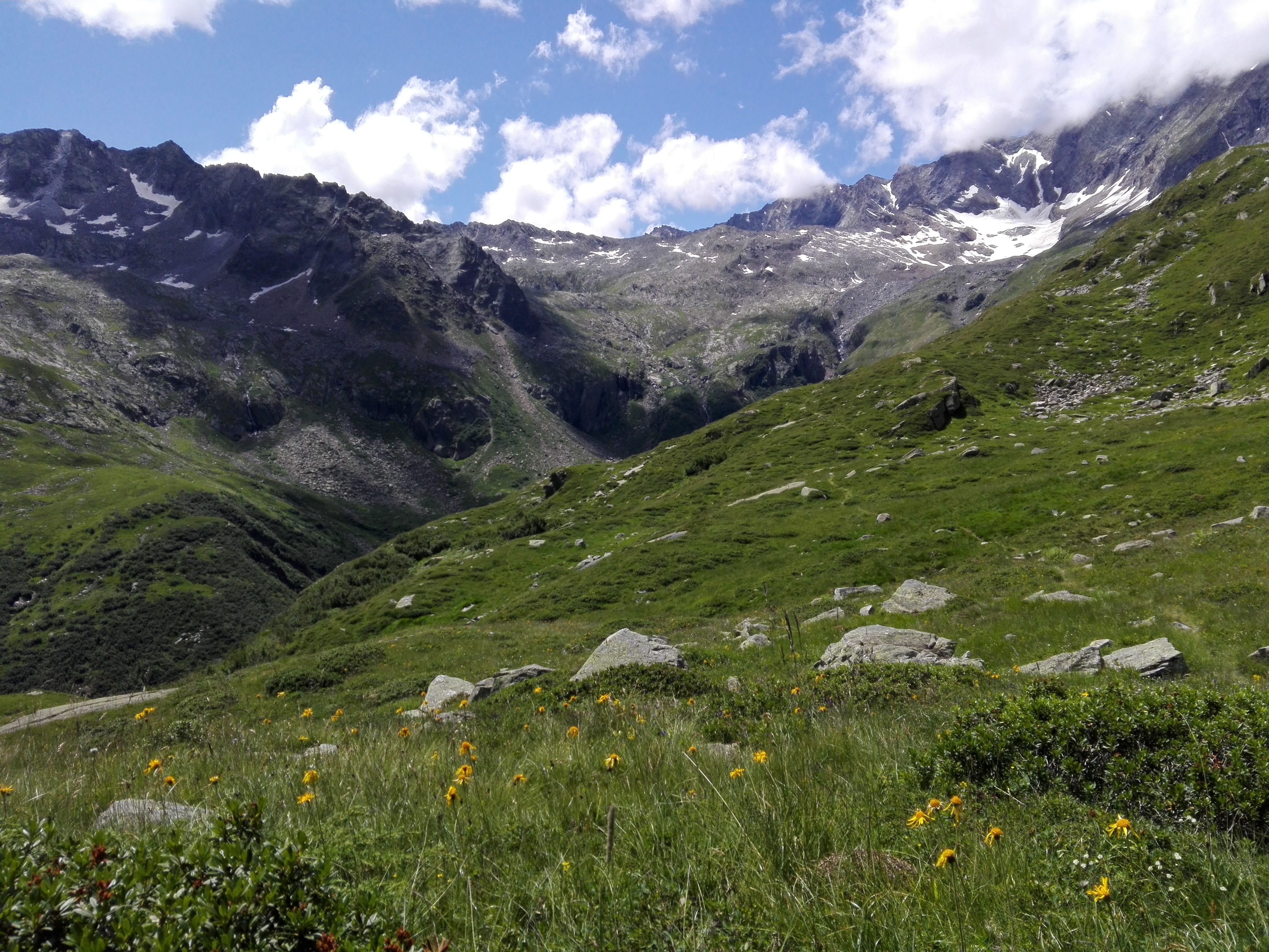
The route departs from the hamlet of Cheggio in the upper Antrona Valley (where there is an automobile checkpoint), skirts the flatlands along the western shore of Cheggio Lake, climbs to the Rifugio Andolla mountain hut and then to Passo Andolla (the 1st pass on the route). It then descends into Switzerland (upper Zwischbergental – Sempione Valley) until reaching Alpe Porcareccia, gradually rising again to Passo del Busin (the 2nd pass on the route). With a panoramic, aerial course, it climbs the western crest, then descends again to the southern one until reaching Passo della Preia (the 3rd pass), and heads uphill again just until Passo Castello (the 4th pass). Crossing behind Mount Preia, in the vicinity of the Bognanco Valley, the trail reaches Bocchetta di Pianei (the 5th pass). From here the descent begins, passing by Alpe Pianei, upper and lower Alpe Pasquale and Alpe Bisi to finally return to the dam of Lake Cheggio.
Notes: The route of the 5 passes is a grand panoramic loop that extends at a high altitude and, for a stretch, covers the ridge along the Antrona Valley and Zwischbergental (Switzerland). Expert hikers may depart from Cheggio. As an alternative, it is possible to lodge in the area at a high-altitude mountain hut (the Rifugio Andolla), making the excursion somewhat easier.
Last update: 06/03/2018 ore 15:11:34


