")
")
")
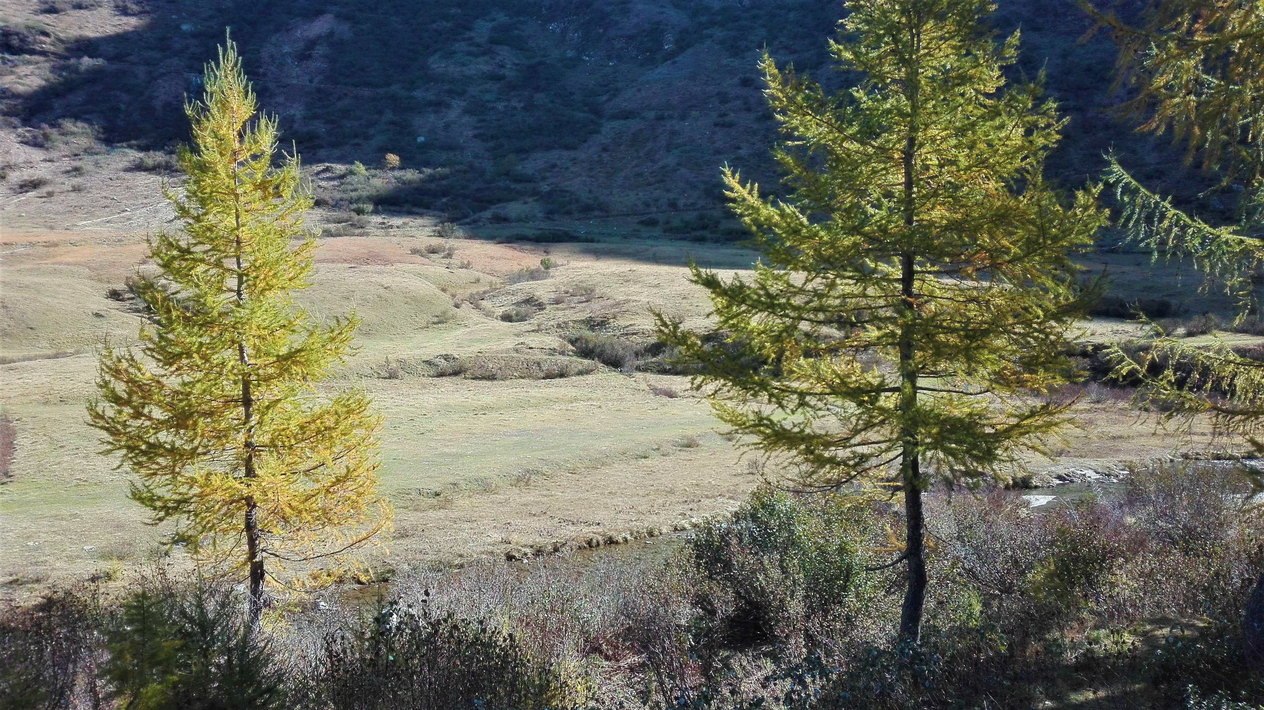
From locality Ponte take the G00d path which pass behind the majestic ENEL power plant which has a beautiful architecture, made by Portalupi architect, the path starts to climb and above Brendo becomes a track which continues on the right bank until the height of Grovella. Here the path becomes very steep and it’s hard to pedal uphill. To arrive to Canza you have to go up a hill called “il Cree”. Once in Canza, don’t cross the river but continue on a tractor track that runs along the river which then becomes a path too steep to pedal. The path climbs over another hump until arrive to Sottofrua, at the foot of the majestic Cascata del Toce. Here, you have to cross the wooden bridge and take the state road with the artificial tunnel until you arrive to the top of the waterfall. Is not recommended to take the mule track that runs alongside the waterfall because it is very steep, with steps, it’s impossible to ride a bike on it, sometimes exposed and very crowded of hikers. Once arrived to the top of the waterfall, you have to go until Riale following the paved road. Once arrived to the Centro del Fondo of Riale you have to cross the River Toce on the bridge and follow the route to Passo San Giacomo made in the 20s at the service of the construction of the Toggia and Castel dams: it is a true masterpiece, with reduced slope and hairpin bends with perfect lines. At the end of the uphill, you have to reach the Rifugio Maria Luisa (refuge), and then the Lago Toggia dam. From here the path continues on a very slight slope along the whole lake. Then you have to go straight (ignoring the crossroads to Alpe Regina) to arrive to Passo San Giacomo where is possible to see the Valle Bedretto below. From Passo San Giacomo you can go down in Val Bedretto until Airolo along the route promoted by Ticino Turismo: the “Strada degli Alpi” (route of Alps) which half-way up touches the Alpi di Formazzora, Valleggia, Folera, Stabiello, Cristallina e Pescium.
TRACK:
MTB Track of Toce
STAGES OF THIS TRACK:
MTB Track of Toce - Stage 1
MTB Track of Toce - Stage 2
Notable Items along the Track
Walser Culture in Formazza, Casa Forte of Ponte, Cascata del Toce (waterfall), Conca di Riale, Val Formazza lakes
POUT_ACCESSO_LABEL
SS33 of Simplon, exit Crodo Valle Antigorio - Valle Formazza, then straight along SS 659 of Formazza Valley to Premia
Accesso con mezzi pubblici
All the villages of the Antigorio Formazza Valley are served by the Domodossola-Cascata del Toce Bus Line. Autoservizi Comazzi Tel. 0324 240333 www.comazzibus.com