")
")
")
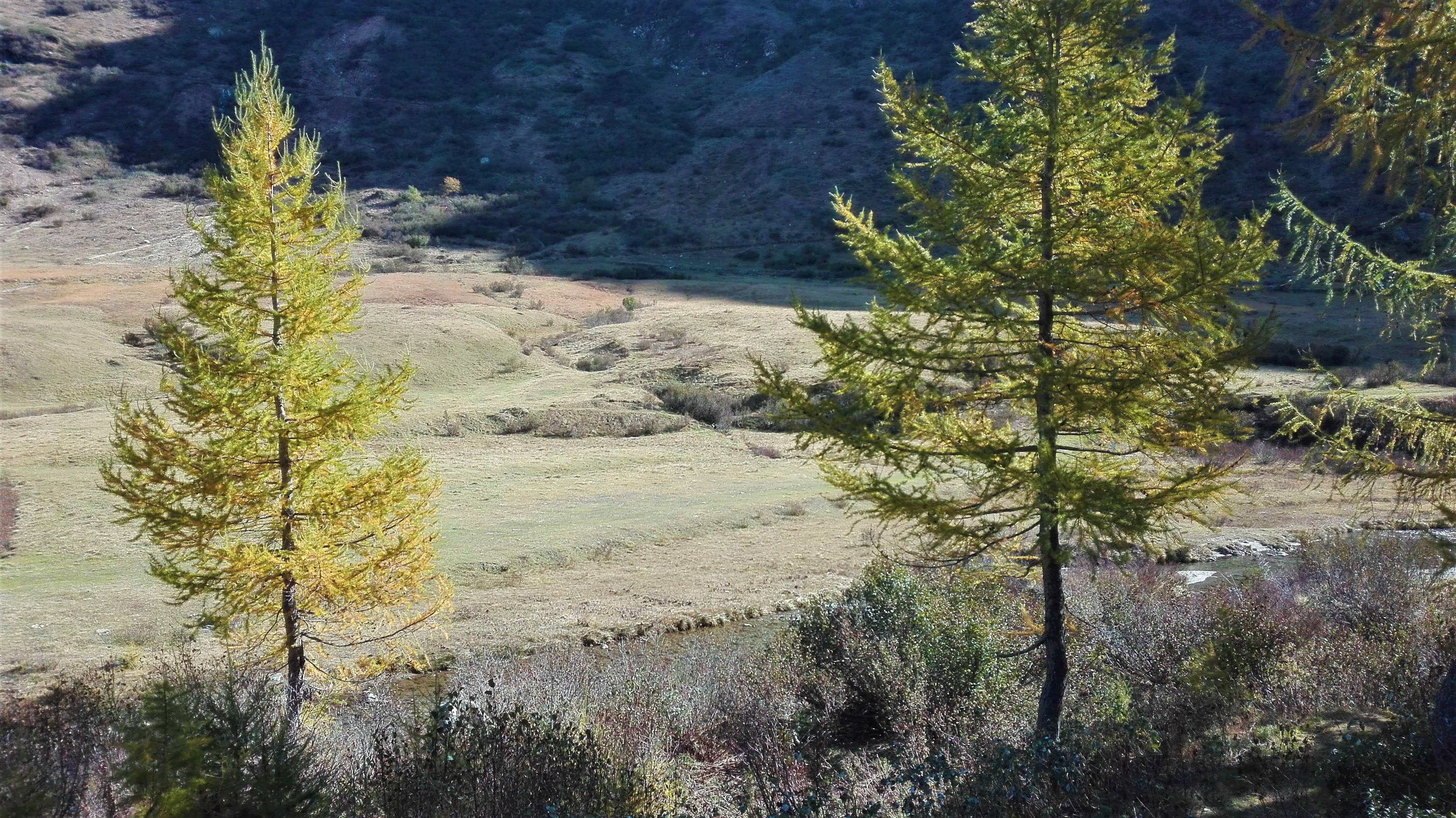
We turn left from the parking near the Crevoladossola- Montecrestese exit of SS 33 (near Lake Tana), following the indications of Via del Gries. We follow the nature trail of Lake Tana along the embankment until we get under the elevated motorway, then we turn slightly right and then take the flat paved road to Roledo on the left. Before going up to the houses of Roledo, we follow a dirt track on the left, which passes under the viaducts of the motorway, to the bridge over the River Toce which leads to the hamlet of Canova near Oira. Following the indications of Arzalo - Pontemaglio, we pass again under the motorway (short, very steep downhill section) and we follow the Toce on a path to the characteristic Pontemaglio stone bridge. Once intersected the pavedroad, we continue to the village Oratory and then turn left on the asphalt road that descends towards the road bridge over the Toce. Just before the bridge, we turn right and we follow the dirt track that with some ups and downs goes up the valley keeping parallel to the river, becoming more and more tight until it becomes a wide path that runs alongside the Toce up to the hamlet of Gianzana. From the hamlet, we continue on a paved road, keeping always on the hydrographic left, until the hamlet of Alpiano Viceno. Following the indications of Via del Gries, cross the hamlet and descend to cross the Toce river on an iron bridge. Immediately after the bridge, we follow the track on the embankment that goes around the Terme di Crodo park and the Visitor Center of the Veglia Devero Park. At the end of the park, following the indications of Via del Gries, it is better to take the main road for a short distance and then to turn left going towards the center of Crodo. Alternatively, you can continue along the path of the embankment which then enters a grove, crosses the Torrente Alfenza (ford) and continues through meadows until it crosses the asphalted road just before the road bridge over the Toce of the road to Maglioggio. Instead, from the center of Crodo we continue passing in front of the agricultural school and then we descend to go and to take the road to Maglioggio which we follow until the crossroads for Maglioggio. At the crossroads, we turn left and we continue following a pleasant flat paved road which reaches the old ENEL plant in Verampio, where we cross the River Toce on a bridge and then we reach the Trattoria della Campagna. From Verampio, following the indications of Orridi di Uriezzo, we take a dirt track that first crosses the Torrente Devero with a ford and then climbs gradually. First, we reach the Maiesso bridge with the beautiful giant's kettles carved into the rock and we continue on the track (do not cross the bridge) with large curves until we reach the entrance to the Orrido Sud, a deep rock incision equipped for visiting with metallic ladders. After visiting the canyon, we continue along the track to the Oratory of Santa Lucia where the road returns to being paved. We follow the steep road to Balmafredda, an imposing gorge carved into the rock equipped as a climbing site. At the crossroads for Crego, we continue to Premia until the road crosses the Val Formazza state road. The center of Premia remains on the left.
TRACK:
MTB Track of Toce
STAGES OF THIS TRACK:
MTB Track of Toce - Stage 2
MTB Track of Toce - Stage 3
Notable Items along the Track
Natural area of Lake Tana in Crevoladossola, stone architecture in Canova, Oira and Pontemaglio, Visitor Center of Veglia Devero Park in Crodo, Giant's Kettles of Maiesso, Orridi di Uriezzo
POUT_ACCESSO_LABEL
State Road SS33 exit Crevoladossola/Montecrestese
Accesso con mezzi pubblici
All the villages of Antigorio -Formazza Valley are served by Domodossola-Cascata del Toce Bus Line. Autoservizi Comazzi Tel. 0324 240333 www.comazzibus.com