")
")
")
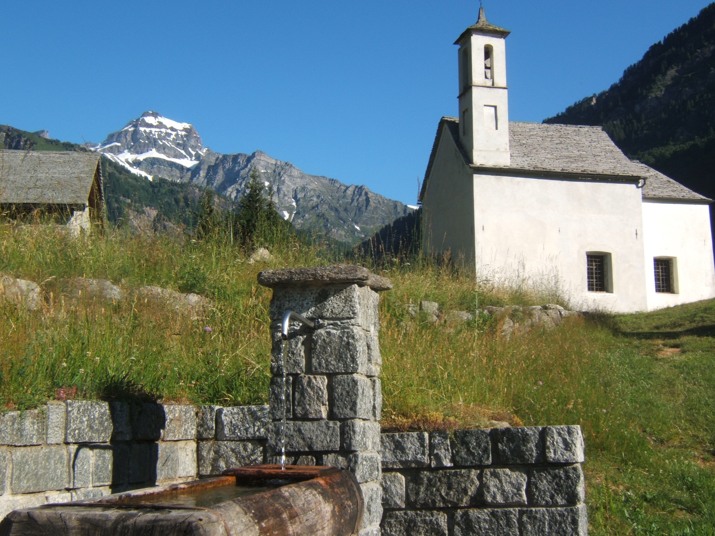
Esigo includes some scattered clusters of Alpine lodging buildings found on a vast glade which interrupts the continuity of the Mount Cistella and Bondolero Valley woods. This is where the mown meadows which have been taken care of appear with all their beauty, reminding us of the charm of traditional agricultural landscapes.
Esigo can be reached via a ring-shaped itinerary along stone-paved mule tracks starting from Osso. Not far from the Osso Bridge, near the small chapel on the side of the road, the track takes us up via a steep tract to the woods among chestnut trees and then takes us down some easy stone steps (be careful especially when leaves hide the path), until we finally get to a balcony in Esigo next to a crucifix from where we can see the Antigorio Valley on one side and green meadows on the other side. Via a flat tract we reach the small pave road which goes up from the bottom of the valley up to the church. From the Saint Rocco Oratory a nice large mule path goes down among beech tree woods, soon leading to an ancient flint stone pavement. After having taken a syndicate road for a short tract, the road resumes a little bit downhill where we reach the carriageable road in the Al Passo area where we can observe the relics of the defensive barrier built by the Milan Duchy in the XVI century with the purpose of defending this and watching out for the repeated invasions of the Valais people.
Following the paved provincial road (while being careful about not being run over by passing cars) we can admire the beautiful waterfall of Rio di Agaro and in a brief amount of time we reach the Osso dwellings.
Last update: 06/03/2018 ore 10:36:23


