")
")
")
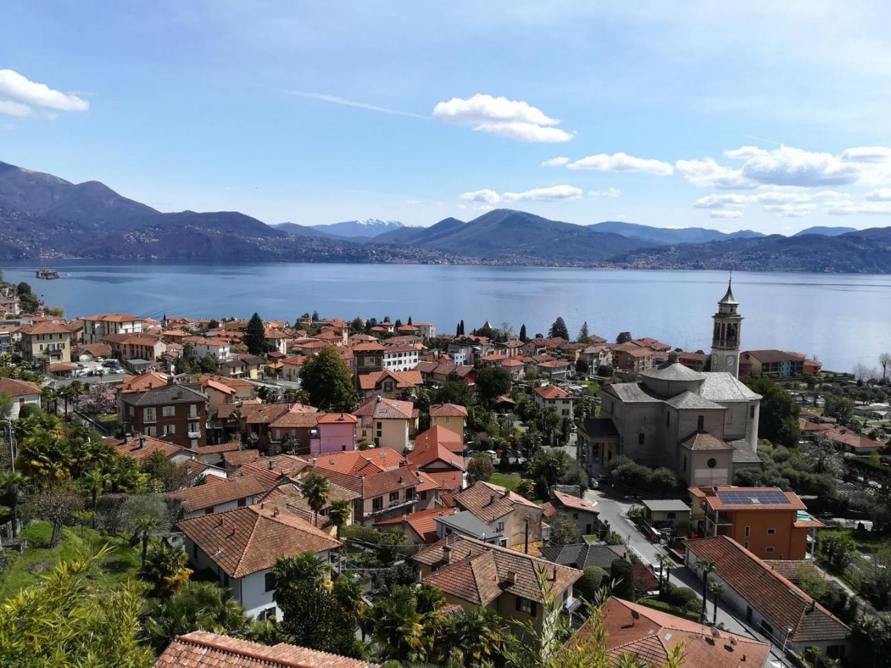
The Via delle Genti from Verbania Intra on the Swiss border represented the ancient road connecting the villages of Verbano and Switzerland. The road continued in Switzerland along the villages of Lake Maggiore to Locarno and then in the Magadino plain where it was connected to the road which led up to the San Gottardo Pass. The stretch from Verbania to the state border takes place in two pleasant stages that can be done all year round, except for snowfall. It is an itinerary that takes place halfway up with an amazing view of Lake Maggiore and which allows you to cross small villages and the Sacro Monte di Ghiffa Reserve, a UNESCO World Heritage Site, lastly reaching the wonderful lake villages of Cannero and Cannobio.
THE LEGS OF THIS ROUTE:
Via delle Genti - Leg 1: Intra - Cannero Riviera
Via delle Genti - Leg 2: Cannero Riviera - San Bartolomeo
Notable Items along the Track
The Sacro Monte di Ghiffa, together with other Sacri Monti of Piedmont and Lombardy, was declared in 2003 by UNESCO as a World Heritage Site. It is a complex of baroque order, dedicated to the SS. Trinità, immersed in a grandiose natural environment and dense woods. Cannero Riviera has typical characteristics of the Mediterranean coastal resorts: the natural inlet that shelters it from cold winds and the sunny position favor the growth of lush vegetation, rich in cedars, lemons, olive trees, orange trees, palms, azaleas, rhododendrons and camellias, very well known. The Borgo is awarded the Orange flag of the Italian Touring Club. Cannobio is the last town on the Piedmontese shores of Lake Maggiore before the border with Switzerland. Due to its geographical position, it represented an important strategic and commercial node that is still well represented by the presence of numerous buildings from the 17th-19th centuries that overlook the cobbled streets of the historic center, such as the sixteenth-century residence of Palazzo Omacini and Palazzo Pironi.
POUT_ACCESSO_LABEL
Verbania Intra can be reached via the A26 highway, Verbania exit, then Strada Statale 34 del Lago Maggiore
Accesso con mezzi pubblici
The local railway station is Verbania Pallanza. From the station, buses depart for Intra, Cannero, Cannobio, Confine di Stato (for timetables www.vcotrasporti.it). The same line is used for the return. The navigation service is also active in the ports of Intra, Ghiffa, Oggebbio, Cannero and Cannobio with the possibility of returning by boat (For boat timetables visit the website www.navigazionelaghi.it)
link-utili-label