")
")
")
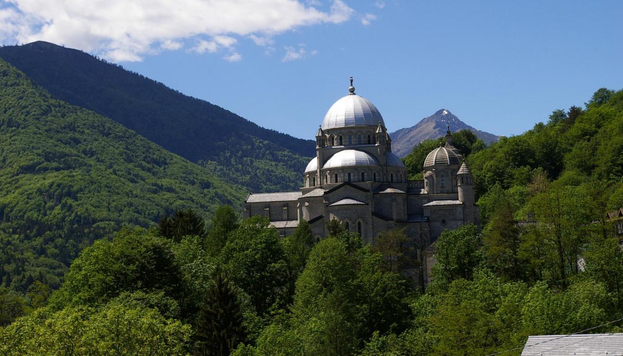
Go up through the town of Camedo and after passing the Oratory of San Lorenzo continue on the carriage road to reach Borgnone (710 m). Shortly after the inhabited area a beautiful chapel marks the beginning of the ancient path of Via del Mercato and after a few steps you will enter into the Parco dei Mulini (park of the mills) of Lionza. Recently enhanced, this area dedicated to stone has several finds from an ancient artisan settlement in a sort of open-air museum. The path continues flat up to the chapel of Tesa (a short detour is recommended to visit the town of Lionza which hosts numerous testimonials of the Tondu family) before continuing in the direction of Verdasio (710 m); here you can admire rare examples of rural architecture, suggestive cobbled lanes and large arcades. The path continues in the direction of Monte Comino, deviates for Slogna at the first bend and continues slightly downhill to Calezzo, from here you will reach Intragna (339 m) with its Regional Museum of Centovalli and the highest bell tower in Ticino (65 m).
THE ROUTE:
Via del Mercato
THE LEGS OF THIS ROUTE:
Via del Mercato Leg 1: Masera - Santa Maria Maggiore
Via del Mercato Leg 2: Santa Maria Maggiore - Camedo (CH)
Via del Mercato Leg 4: Intragna (CH) - Locarno (CH)
Notable Items along the Track
Parco dei Mulini of Lionza (park of the mills): recently enhanced, this area dedicated to stone has several finds from an ancient artisan settlement in a sort of open-air museum. Lionza: which hosts numerous testimonials of the Tondu family. Verdasio: here you can admire rare examples of rural architecture, suggestive cobbled lanes and large arcades. Intragna: with its Regional Museum of Centovalli and the highest bell tower in Ticino (65 m).
Accesso con mezzi pubblici
All places of departure and arrival can be reached by train with the Vigezzina-Centovalli railway line www.vigezzina.com
link-utili-label